✨ New Arrivals Just Dropped!Explore
Rock County
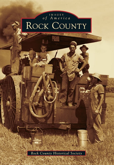
Rock County, located in the southwest corner of Minnesota, is proud to share its history through a pictorial journey of settlement, growth, and development. The county is, and has always been, an agricultural community. One of its outstanding features is the Sioux Quartzite cliff line visible to settlers who moved in or came through the area as well as today's residents and visitors. The cliff line is 120 feet high and stretches for about two miles. It was formed through the early glacier period and travels northwest through Rock County, past the South Dakota border, before going back underground. The rock was quarried and used in many of the homes and businesses in Luverne and other Rock County communities.
$8.75
Original: $24.99
-65%Rock County—
$24.99
$8.75Rock County
Rock County, located in the southwest corner of Minnesota, is proud to share its history through a pictorial journey of settlement, growth, and development. The county is, and has always been, an agricultural community. One of its outstanding features is the Sioux Quartzite cliff line visible to settlers who moved in or came through the area as well as today's residents and visitors. The cliff line is 120 feet high and stretches for about two miles. It was formed through the early glacier period and travels northwest through Rock County, past the South Dakota border, before going back underground. The rock was quarried and used in many of the homes and businesses in Luverne and other Rock County communities.
Product Information
Product Information
Shipping & Returns
Shipping & Returns
Description
Rock County, located in the southwest corner of Minnesota, is proud to share its history through a pictorial journey of settlement, growth, and development. The county is, and has always been, an agricultural community. One of its outstanding features is the Sioux Quartzite cliff line visible to settlers who moved in or came through the area as well as today's residents and visitors. The cliff line is 120 feet high and stretches for about two miles. It was formed through the early glacier period and travels northwest through Rock County, past the South Dakota border, before going back underground. The rock was quarried and used in many of the homes and businesses in Luverne and other Rock County communities.